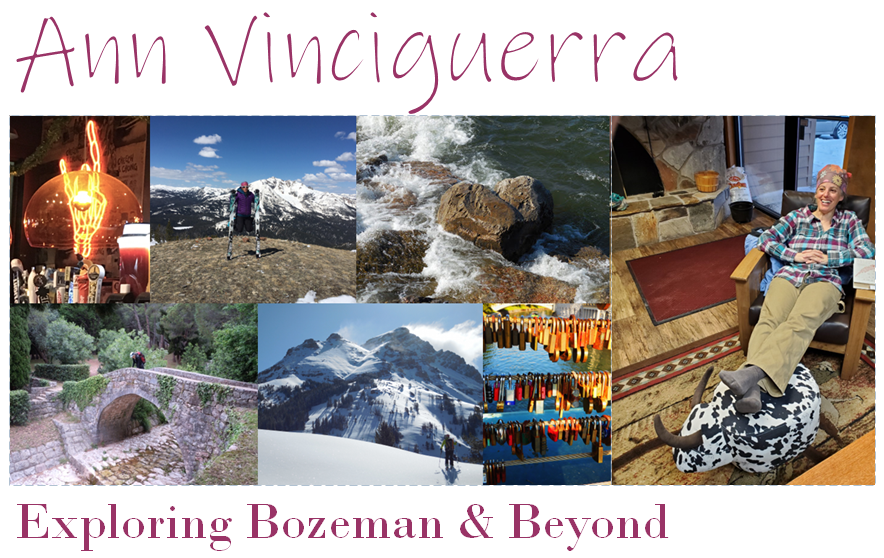
 Yadda, yadda, yadda, Below are few more photos, comments, and stats on our trip.
Rob arcs sweet, effortless turns in the micro-gully. All of the tracks are ours. Yes, we are that cool.

This photo was taken at our high point 1,100 feet above the trailhead. I was thinking I could send this photo to the Dynafit catalog but I imagine they want more action (And newer skis).

At first I though this bench was a log as it was fully covered in snow with only the top of the back sticking out. More adventurous folks would have launched it, but I decided to clear it off and have a seat.
Aren't we rad?!
My ski of the M was my first Strava documented outing. I don't think I'm about to start recording my activities, but it is fun when someone else sets the timer and you can take a look at the day's stats.
Check us out:

Strava revealed the following:
- We traveled a distance of 3.9 miles
- Our cumulative vertical was 2,211 feet over four laps
- Trailhead = 4,946 feet to our high point 6,056 feet - 1,110 feet
- Our longest run was about 1,010 vertical feet
- The first two laps in the meadow were almost 300 vertical with last meadow lap of 600+ feet back to the car.
The M, Naked
Here's what it looks like without snow.

No comments:
Post a Comment